We deliver a range of specialized services to the oil, gas and mineral resource exploration, throughout understanding geological processes and overcome exploration challenges through structural interpretation of geophysical data.
Gravity and magnetic methods are an essential part of oil exploration. They do not replace seismic. Rather, they add to it. Despite being comparatively low-resolution, they have some very big advantages. These geophysical methods passively measure natural variations in the earth’s gravity and magnetic fields over a map area and then try to relate these variations to geologic features in the subsurface.
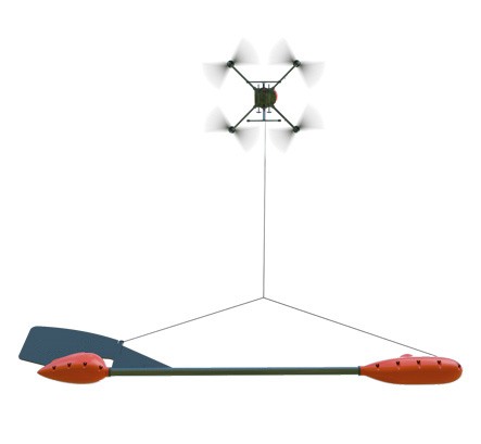
At a comparatively low cost, airborne potential field surveys can provide coverage of large areas allowing quick regional coverage. Where useful gravity and magnetic data are disregarded, risk reduction is incomplete, and the results of exploration programs are less reliable.
Gravity and magnetic surveys should be designed purposefully to resolve the specific kind of anomalies that are expected from geologic targets of interest in a particular study. Each potential-field method valuably provides its own picture of the subsurface. Being responsive to lateral variations in rock properties, gravity and magnetic methods are best suited for detecting steep discontinuities such as faults.
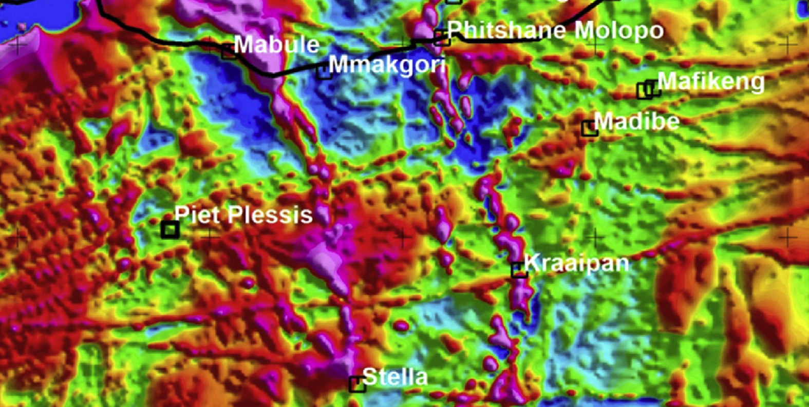
An effective application of gravity and magnetic methods is where gravity and magnetic data can be processed specifically to highlight subtle lineaments; and the horst and graben basins, and where magnetic data are instrumental in the delineation of extrusive and intrusive igneous rocks.
Metamorphosed, igneous and poly-deformed rocks, which are common subjects of mineral exploration, can be far more complicated than the stratified rocks examined in the search for oil and gas. Hard-rock geology presents an explorer with a mind-boggling array of lithologic, metamorphic and structural features, which can host an equally mind-boggling variety of mineral deposits and generate very complex patterns of geophysical anomalies. In areas with a poly-phase deformational, igneous and metamorphic history, to construct a simple geophysical model may be impossible. Each locality and each deposit is different from another, necessitating detailed field mapping and varied geophysical surveys.
Mineral explorers rely on a wide range of geophysical techniques including magnetic, gravity, electrical, electromagnetic and radiometric, and above all on strong knowledge of hard-rock geology and on results of local field mapping and exploration drilling.
By itself, no geophysical anomaly can simply be correlated with lithology. Instead, anomalies arise due to variations in some specific physical properties of rocks. These physical properties are a function of the rocks’ entire history as well as their present state.
At a relatively low cost compared to seismic surveys, gravity, magnetic, electrical, electromagnetic and radiometric techniques can provide geophysical coverage of large and small areas. Calibrated with geological knowledge, all these techniques anomalies can yield an extremely useful picture of lateral changes in rock composition and structural patterns. The anomaly-lithology relationships often complicate interpretation. Even a simple rock source can generate indecipherably complex anomalies.
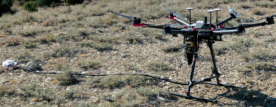
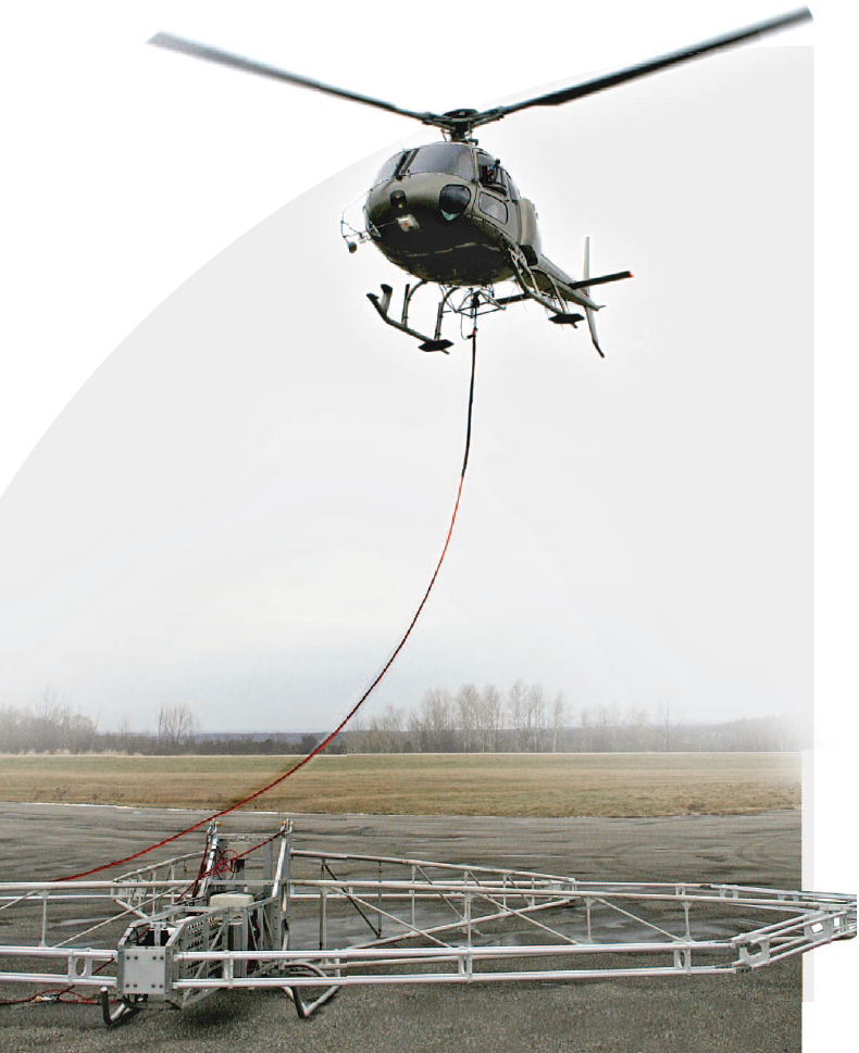
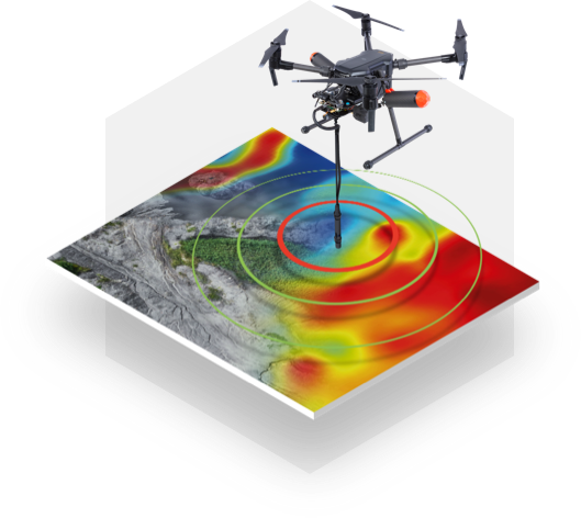
Helicopters can provide quick and easy access to remote survey areas than land surveys, and their maneuverability is well-suited for small-scale surveys. To examine the distribution of several rock properties at once, and because electrically conductive ores are sometimes also aeromagnetic and airborne electromagnetic data over mining properties are commonly flown in conjunction with other geophysical surveys.
Detrital and chemically precipitated magnetic minerals are sometimes found in sedimentary rocks, but such minerals tend to be more common in extrusive and intrusive igneous rocks or in rocks that were metamorphosed. Distribution and internal zoning of plutons and volcanics, configurations of metamorphic zones, and structural patterns in crystalline rocks can be vividly reflected in magnetic and electromagnetic maps.
Magnetic methods are more popular in mineral exploration than gravity, not least because magnetic data can be quickly recorded from the air and in conjunction with other geophysical surveys like electromagnetic and radiometry. Besides, metal ores can be magnetic as well as electrically conductive.
The Interpretation process is essentially geological, with geophysical data used to provide geological information. Gravity and magnetics experts in mineral and oil exploration should learn to think more like their clients, who tend to be geologists and seismologists. Their work should be presented from first principles, with minimum mathematics and with maximum geological consideration. Only then can interdisciplinary walls be brought down and exploration managers can vividly see the essential practical utility of potential field geophysical methods.
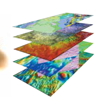
We interpret geophysical data using a structural – geological understanding to provide informed, integrated interpretations that can be directly applied to exploration process.
Our team of skilled geophysical experts assimilates complex data sets to generate and refine targets and delineate prospective structures and sequences. Integrating the data with geological and structural knowledge enables us to identify geological processes, detect structures, and assess the likelihood of ore deposit accumulation and oil and gas traps.
